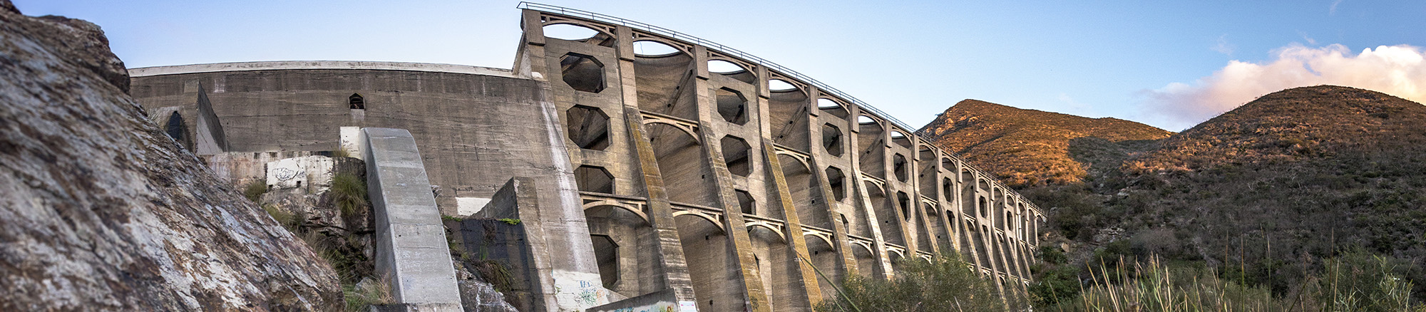
Lake Hodges Dam is a multiple-arch dam that sits on the San Dieguito River, located 31 miles north of San Diego, California. It was originally commissioned by the Volcan Water Company and purchased by the City of San Diego in 1925. The dam has 1,234 surface acres, a maximum water depth of 115 feet and 27 shoreline miles.
Michael Baker performed aerial and ground-based topographic surveys of the Lake Hodges Dam Structure Area using unmanned aircraft systems (UAS) and terrestrial laser scanning. Our team utilized UAS to capture photogrammetric and LiDAR data and terrestrial laser scanning was performed inside of one of the arch areas as a test case for the applicability of the technology to the project. Areas under the dam arches were surveyed with conventional total station equipment with sufficient sampling to obtain one-foot contours.
Using Trimble Geospatial surveying technology allowed the team to address the full work processes and unique challenges in the field. Trimble combines leading-edge technology with a deep understanding of surveyors’ workflows, data integration and maintenance across the lifecycle of projects, enabling surveyors to increase productivity, improve field data collection and enhance collaboration capabilities between the field and the office.