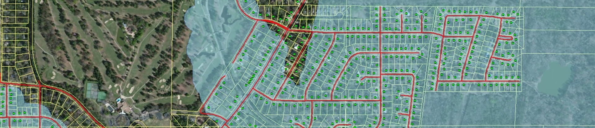
The One Lake project was a successful local initiative to help lay the foundation for the proposed construction of a secondary lake/reservoir downstream from the Ross Barnett Reservoir along the Pearl River to protect against future flooding. Michael Baker deployed its Mobile LiDAR solutions to acquire critical data to perform a detailed and highly accurate survey of approximately 8,000 structures to establish finished-floor elevations (FFE). The survey also encompassed approximately 700 miles of road centerline collection in the Jackson metropolitan area, including residential subdivisions, commercial developments, hospital/medical centers and a significant portion of downtown Jackson.
Survey crews performed Real-Time Kinematic (RTK) GNSS observations on 900 LiDAR-identifiable targets throughout the project area. Control points were used to enhance positional accuracy, evaluate spatial accuracies, and perform validation assessments on third-party aerial LiDAR datasets utilized by various studies.
The Michael Baker team developed custom tools to quickly and efficiently gather other attribute information during the FFE extraction. All parcels, FFEs, roadway centerline profiles and other gathered GIS data was ultimately integrated into a single relational Geodatabase for efficient review and ingestion by the client.